
Wind Farm
The closest townships to the wind farm are Beaufort (approximately 4.5 km north of the site) and Skipton (approximately 4 km south of the site).
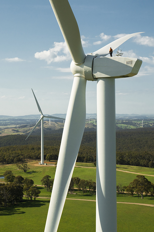
The primary use of the wind farm site is agriculture with the majority cultivated for grazing and cropping. The site has a long history of agricultural use and accordingly is highly modified with little remnant vegetation remaining on the site.
Several small wetlands (freshwater meadows and shallow freshwater marshes) are scattered within and surrounding the site, in addition to minor drainage lines and creeks which traverse the site, mostly in the west and north. Some areas of pasture also become seasonally inundated or waterlogged. The shallow wetlands are ephemeral and do not hold water every year. Wetlands close to the wind farm boundary or occurring within the site include Lake Goldsmith and Black Lake.
The local geology of the site (and the surrounding area) is quaternary basalt derived from ancient eruption points, such as Stockyard Hill, which is an extinct volcano. Its crater currently holds Black Lake which is an ephemeral semi-saline water body.
The surrounding area includes a number of State parks, namely Langi Ghiran State Park which is located approximately 10 km north-west of the nearest site boundary, and Mount Buangor State Park located approximately 8 km north-west of the nearest site boundary. The landscape also contains Monmot Hill, a volcanic cone and Mount Emu, which is a granite hill.